First, an apology. My photography here is pathetic. My kids (on a school trip) had the digital camera, and in an effort to travel light, neither Sherry nor I brought our good 35mm with us to New Orleans, so I ended up buying a disposable camera. Ugh! I’ve never been so sorry I was cheap. I’ve done some terrible digital “enhansing,” but is green sky really better? I’m going to cheat and include a few pertinent pirated internet photos.
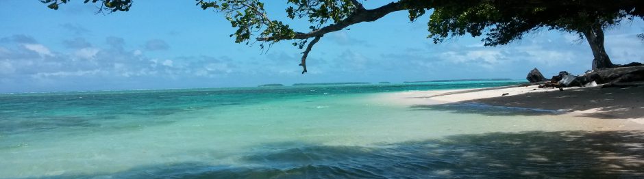
But first, a map. Later I’ll refer to the the Lower Ninth Ward (east of shipping canal, right edge of map about half way down), lake Pontchartrain (top), and the drainage canals (running north into Pontchartrain). Study this. Quiz later.

The serious cartographers can find a great series of flood level maps here.
Now I think we’re ready. Here’s the current state of some low income neighborhoods.

This is the rubble of St. Bernard, a low income housing project demolished within the last month (photo taken from the wrong side of a moving bus). All over New Orleans, such projects are being demolished despite protests. Lafitte is another large one we saw that was block after block of rubble. Federally funded, such projects were once updated via a 1 for 1 system. In other words, you tear one down, you build a new one. This kept people in viable housing.
However, recent changes in Federal law have superceded the 1 for 1 system. Federal money is now going toward “mixed income” neighborhoods, where low and middle income family are integrated. The theory is that such neighborhoods will experience fewer of the social problems that have traditionally plagued low income “projects,” such as St. Bernard and Lafitte, or our own Harbor View in Duluth.
The bottom line is that low income housing is being demolished and not replaced. The people who once lived in such places are scattered in a diaspora. Where are they living? No one is sure.


These are pictures from the Lower Ninth Ward, the low income neighborhood that was hit first and hardest by the storm. It’s too complicated to really get into, but the first news out of New Orleans was that it had dodged a bullet; the Lower Ninth Ward had flooded, but the rest of the city was in good shape. Whew! This turned out not to be the case as the rest of the city slowly filled up. Regardless, the Lower Ninth was definitely hit the hardest. About 1 in 3 homes are currently occupied. No one really cares now, just like no one cared when it was first flooded.
Here’s some middle income housing.


These homes are up near Lake Pontchartrain not far from the drainage canals whose levees burst after the storm surge filled the lake. These neighborhoods had a post-war feel to them that’s hard to explain. About half of them seemed to be in a rebuilding phase; the other half were still in shambles. Currently, people living in these neighborhoods battle snakes and rats, in addition to everything else one might imagine.
So what about the afore mentioned drainage canals?

It’s common knowledge now that most of New Orleans (outside the French Quarter, hotel district, and St. Charles Ave.) is below sea level; well here’s visual proof, should you need any. This is the 17th Street Canal just before it meets Lake Pontchartrain, and the water level is clearly higher than the surrounding neighborhood. Every moment of every day, thousands of gallons of water are being pumped out of New Orleans and into these canals, which then drain into Pontchartrain. Most of the stretch of seawall and levee seen here was washed out after Katrina was gone and the skies had cleared. The storm surge had worked its way through the swamps into Pontchartrain, and then up these canals. It didn’t overtop them. It just pushed through them because of faulty construction.
Below is a picture of the solution.

This looks north, the opposite direction from the previous picture. The digitally enhanced sky looks ominous, doesn’t it. Lake Pontchartrain is behind that dam-like structure straight ahead, which is brand new (post-Katrina). The idea is that the next time there’s a hurricane, these dams will close, keeping the lake water from entering the canals. The apparatus on the left is a pumping system which will pump water out of the canal and into the lake. Simple.
That Army Corp of Engineers! What they won’t do for several hundred thousand people who insist onliving below sea level.
I promised a quiz, so here it is. True or false: New Orleans will flood again.
Answer in next post.